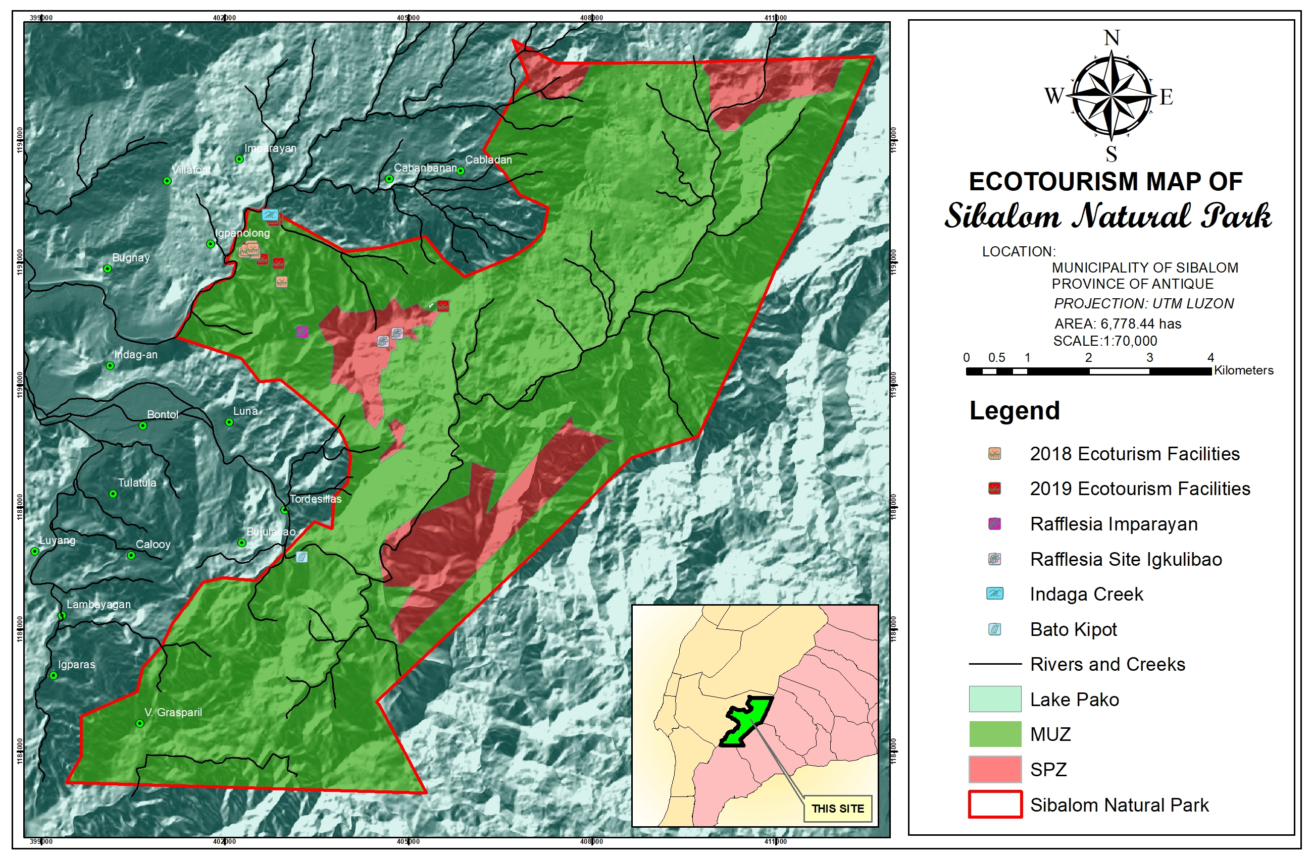
| Sibalom Natural Park |
|---|
| Sibalom Natural Park |
|---|
| Forest Formation | |
|---|---|
| Legend | Area(has.) |
| Vegetative Cover | |
|---|---|
| Legend | Area(has.) |
| Natural Wetland |
|---|
| Human-made Wetland |
|---|
| Caves | ||||
|---|---|---|---|---|
| Cave Name | Area (has.) | Location | Cave Classification | Status |
| Elevation | |
|---|---|
| Highest Elevation (meters): 1,000.00 | Lowest Elevation (meters): 300.00 |
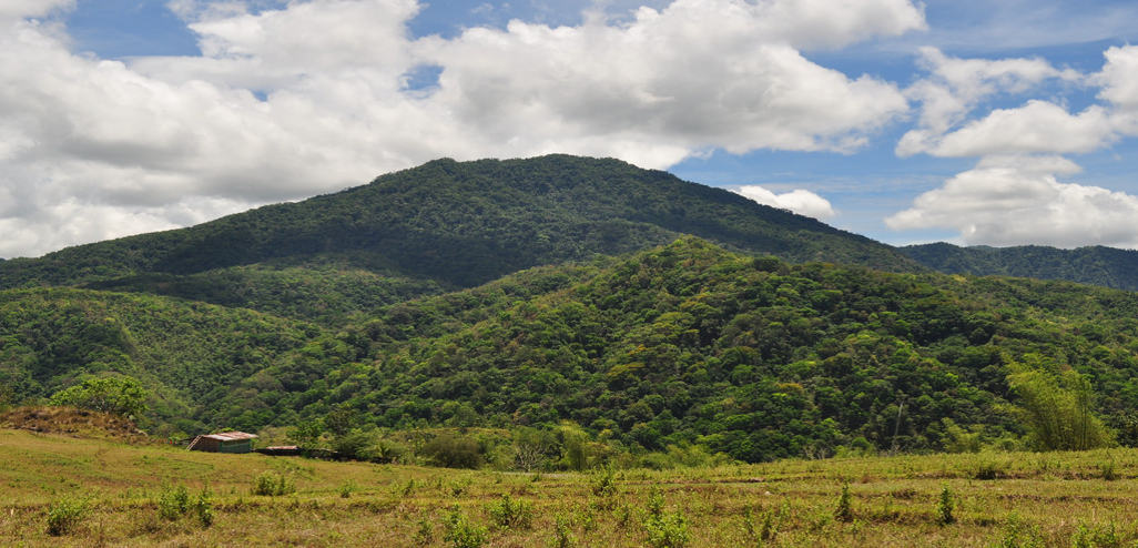
Sibalom Natural Park is one of the last remaining lowland rainforest in the Philippines.
Embedded with semi-precious gemstones in the riverbanks/riverbed of Mau-it, Sibalom Natural Park is rich with varieties of stones and rock formations. A major percentage of Sandstones, shales and conglomerate are found in the park.
Type I - Two pronounced season: dry from November to April and wet during the rest of the year.

Very High - 575.870

| Sector | Program and durations | Details | Proponent/Implementing Partner | Projects/Researches |
|---|
| Sector | Project Name | Proponent | Duration | Source of Fund | Area(has) | Location |
|---|
| Type | Purpose |
|---|

| Inventory of Existing Infrastructure | |||||||||
|---|---|---|---|---|---|---|---|---|---|
| Types of Facility/Structures/Infrastructures | Unit (no.) | Date Established | Management Zone (SPZ/MUZ) | Within Easement Zone | Status | Affected by recent Typhoon | Tenurial Instrument/Certification Issued | Appropriate Recommendations | Remarks |
| event |
|---|