| Elevation |
| Highest Elevation (meters): 915.00 |
Lowest Elevation (meters): 200.00 |
Topography and Slope
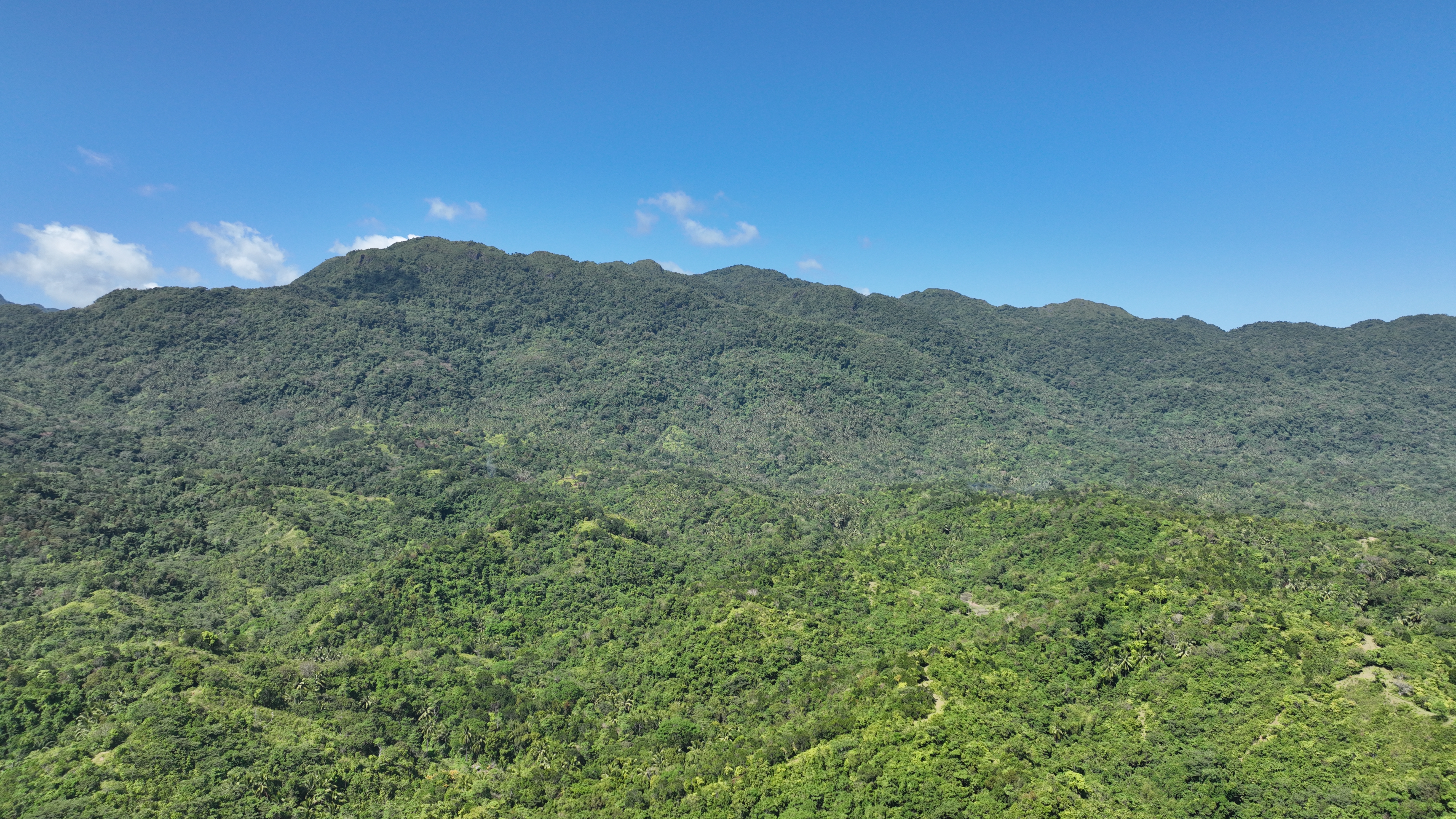
Northwest Panay Peninsula Natural Park forests in some sections starts as near as two kilometers from the sea and at elevations as low as 200 meters above sea level (ASL). The highest peak of the inland mountain range, Mt. Tinayunga, reaches 915 m in elevation. In terms of slope, most of the numerous and nameless mountains have a gradient above 100% (or 45º). The park is in general very steep. More than ¼ have a gradient above 50% (or 27º) and nearly 60% with a gradient above 30% (or 17º).
the topography is not less steep. Most of the numerous and nameless mountains have a gradient above 100% (or 45º). This area is in general very steep (see table Slope gradient). More than ¼ have a gradient above 50% (or 27º) and nearly 60% with a gradient above 30% (or 17º).
The mountains of NPPNP have no direct contact to the Central Panay Mountain Range but the topography is not less steep. Most of the numerous and nameless mountains have a gradient above 100% (or 45º). This area is in general very steep (see table Slope gradient). More than ¼ have a gradient above 50% (or 27º) and nearly 60% with a gradient above 30% (or 17º).
Rock Formation
Four main rock formations are dominating the area of the peninsula. The Buruanga Metamorphic Complex made of schist, phyllite, quartzite, sediments, meta- volcanics and massive marble, the Quaternary Alluvium mainly consists sand and marble along the riverbeds, the Sta. Cruz sediments out of coarse clastics and coral limestone and the Patria Quartz diorite, a pre-tertiary igneous formation with coarse grained hypidiomorphic granular containing plagioclase, hornblende, biorite, muscovite and quartz.
While the Buruanga Metamorphic Complex embodies the main parts of the protected area, the Quaternary Alluvium is found near the coast and along the rivers. The other two formations are scattered in small areas all over the peninsula. Deposits of manganese, iron, limestone, silica, dolomite and marble are noticed in NPPNP. Some of these deposits are under mining or there are pending mining applications.
The karst topography with sinks, underground rivers and caverns characterize the marble and limestone area of Pandan and Libertad. Both the lack of ground water and the ruggedness of the limestone relief have so far hindered extensive logging, kaingin and establishment of local communities in the uplands
Soil Type
TYPE AREA (HA)
Alimodian clay loam 220.169
Alimodian sandy clay 2781.518
Mountain soil (undifferentiated) 8901.106ha
San Manuel clay loam 5.565 ha
Sapian clay 93.733 ha
Sta. Rita clay 7.199ha
TOTAL 12,009.29ha
Climate type
Type III - Seasons are not very pronounced, relatively dry from November to April, and wet during the rest of the year.
Type III - Seasons are not very pronounced, relatively dry from November to April, and wet during the rest of the year.
River Basin and Watershed
Geohazard Features
Landslide Susceptibility
 Legend
Flooding Susceptibility
 Legend