Topography and Slope
Topography:
The Sierra Mountain Range has several peaks with its highest at Nueva Ecija and portions within Aurora Memorial National Park. Generally, AMNP is a mountain range with rough to moderate slope along Aurora province reaching about 260 to 820 meters above sea level (masl). While in the Nueva Ecija area is rolling to moderately rugged and from moderate to very steep terrain with elevation from 200 to 1,100 masl.
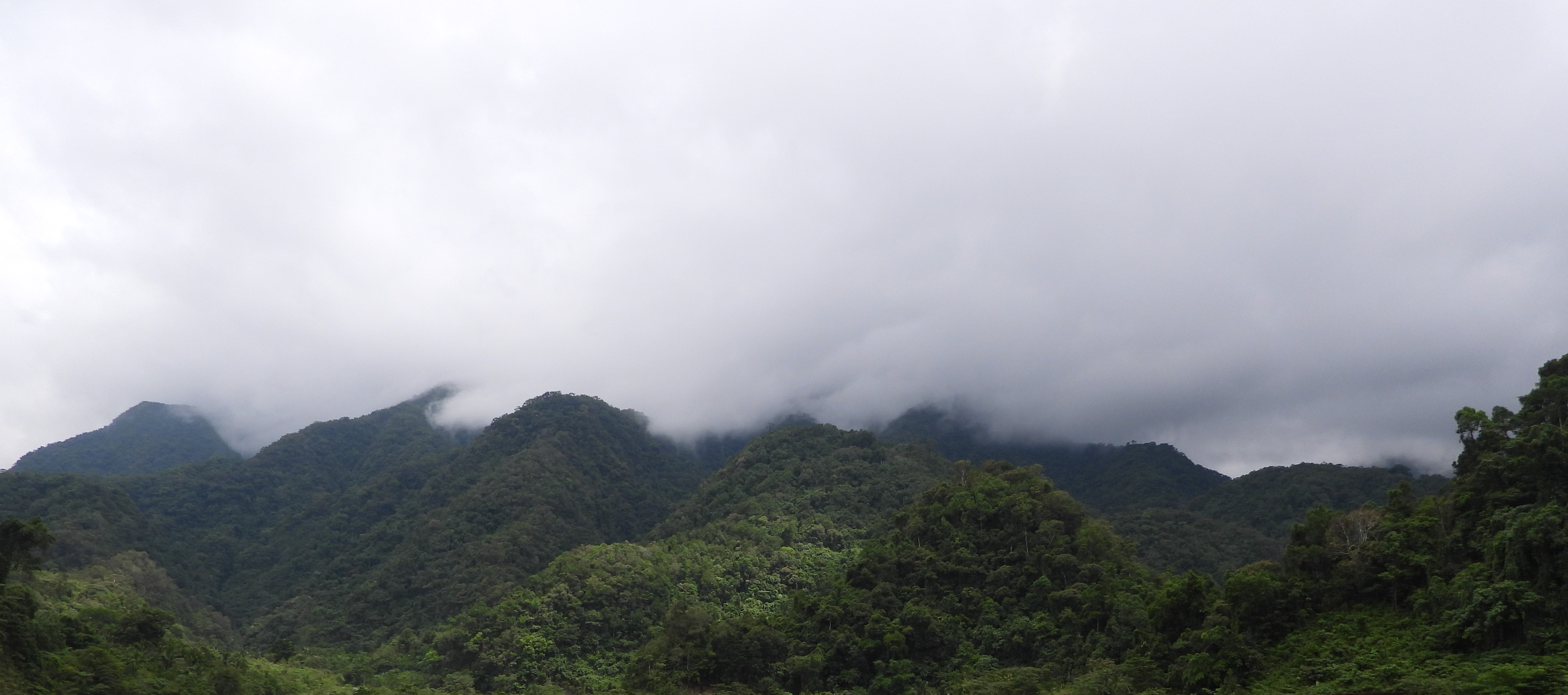
The AMNP has a generally rugged terrain with moderate to steep slopes. Several cliffs that form crests within the protected area. The parts of the AMNP within Aurora province have rugged to moderate slopes and elevations ranging from 260 to 820 meters above sea level (masl). The portions along the Baler-Bongabon National Road in Sitio Dimasingay in Brgy. Villa Aurora represent the highest points of this public highway. The portions of the protected area within Nueva Ecija province have moderate to very steep terrain and elevations of 200 to 1,400 masl. Mt. Bintuod over the Nueva Ecija side is the highest peak.
The Altas have traditional names and beliefs associated with the landforms within the AMNP. For instance, they call one peak “gulugod baboy” because of its resemblance to the spine of a pig (DENR, 2016). They also believe that one should not make any loud noise while on Mt. Dayap because disturbing this mountain will cause heavy rains.
Soil Type
The entire AMNP has soil that belongs to Annam clay loam soil type. Based on the soil land capability scheme of the Department of Agriculture - Bureau of Soils and Water Management (DA-BSWM), this soil falls under Class M which is steep, very severely to excessively eroded, and should not be cultivated under clean-tilled cropping system. This soil is suitable for pasture or tree farm or forest uses with careful management.