| Elevation |
| Highest Elevation (meters): 1,935.00 |
Lowest Elevation (meters): 0.00 |
Topography and Slope
Rock Formation
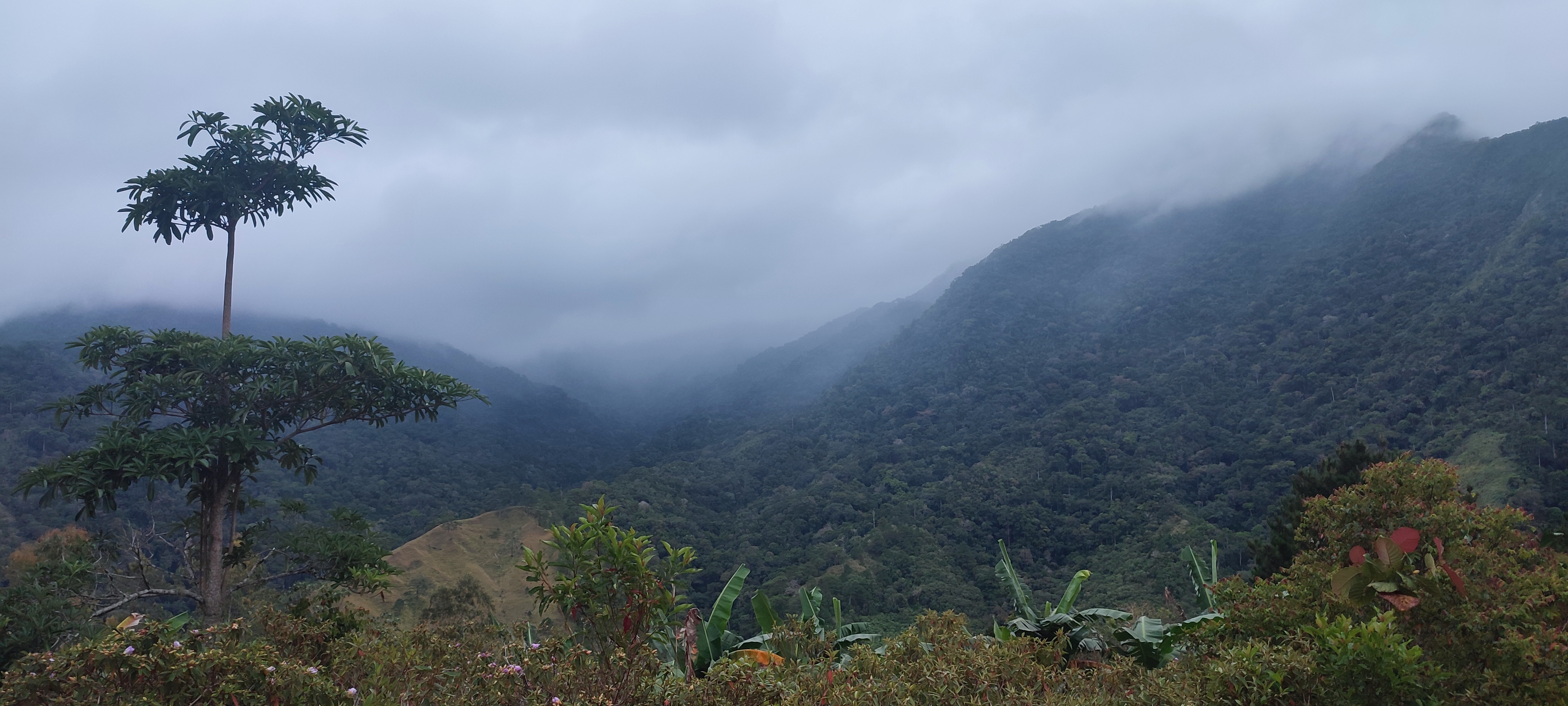
The area is underlain mainly by a formation of igneous rock which is a combination of volcanic flows and volcanic intrusive. Some parts of the area are volcanic agglomerate and overlain by a combination of bedded limestone and shale/sandstone formation which contribute to a part of the Mamparang Mountains. The lithology of the Sierra Madre Mountains is underlain by volcanic rocks of different composition forming a north to east alignment of mountain ranges. Like the Sierra Madre Mountain, the Caraballo Mountain has a metarock composition. The formed residual soil is poorly developed on account of its slopes. On side slopes, soils formed in place are thinner compared to soils formed on top ridges in the plateau-like topography which are controlled by the rocks underneath.
Soil Type
Soil types of the area are characterized as bago clay, annam clay loam and annam clay. A majority of the soil within the PA is of bago clay which can be found in Alfonso Castañeda, in Dupax del Norte it is of annam clay loam and annam clay and annam clay can be found in Dupax del Sur. Soil fertility has depleted in the area and is believed to be due to farm mismanagement like crop intensification, leaching and grazing. Soil erosion also contributes to soil fertility loss. Most of the PA has moderately deep to deep soils except those residual soils developed from limestone, volcanic agglomerates, and diorites and on localized areas where rock outcrop dominates. The various limits of soil texture depend largely on the precipitation and amount of weathering processes prevailing in the watershed. Such conditions undergoing pedogenic changes have resulted in varying textures. The majority of the soils of the Casecnan Watershed are of the medium and heavy clay class.
Climate type
Type III - Seasons are not very pronounced, relatively dry from November to April, and wet during the rest of the year.
Type I - Two pronounced season: dry from November to April and wet during the rest of the year.
Type IV - Rainfall is more or less evenly distributed throughout the year.
River Basin and Watershed
Geohazard Features
Landslide Susceptibility
 Legend
Flooding Susceptibility
 Legend